
As Tropical Storm Debby continues its path toward the Bay Area, residents are preparing for significant weather impacts. The storm, currently intensifying, is expected to bring heavy rain, strong winds, and the possibility of severe weather, including tornadoes.
Tropical Storm Debby, with sustained winds of 80 kilometers per hour, is moving north-northwest at 21 kilometers per hour. Meteorologists predict that the storm will gather strength as it remains over warm waters, potentially reaching Category 1 hurricane status. The storm’s path shifted slightly westward, allowing it more time over the Gulf of Mexico, which may lead to further intensification before it makes landfall.
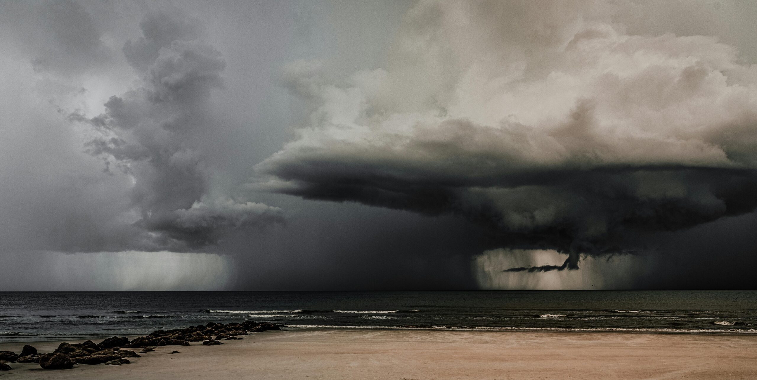
As of this morning, the Bay Area is experiencing relatively calm weather, but conditions are expected to deteriorate. Outer rain bands are already impacting areas like Fort Myers and Cape Coral, bringing short bursts of heavy rain and gusty winds. The rain bands are expected to become more frequent and intense throughout the day, particularly affecting Central and Northern Florida.
The development of severe weather, including tornadoes, remains a significant concern. Meteorologists believe that the best chance for tornadoes will be later today, primarily in Central and Northern Florida.
The Bay Area and surrounding regions are bracing for the storm’s impacts. Tropical storm-force winds extend approximately 210-225 kilometers from the storm’s center, meaning areas west of Interstate 75 are likely to experience the heaviest rains and strongest winds. The storm is expected to stall over southeastern Georgia, which could lead to prolonged rainfall and potential flooding in the Carolinas.
One of the primary concerns with Debby is the potential for storm surge, particularly in Northern Florida’s coastal areas. The Nature Coast and Big Bend regions are on high alert for significant storm surge once the storm’s center moves north.
Flood advisories are in effect for much of the Bay Area and inland regions. The risk of flash flooding is particularly high due to the intense rainbands that may linger over the same areas for extended periods, a phenomenon known as “training.” This continuous rainfall can quickly overwhelm local drainage systems and lead to significant flooding.
For today, the Bay Area can expect a high of 30 degrees Celsius with tropical downpours and tropical storm-force winds. The risk of flash flooding will continue into tonight, with temperatures dropping to the 20s. Tomorrow’s high tide, just after 2 p.m., may exacerbate storm surge impacts, though conditions are expected to be slightly more favorable compared to today.
As Tropical Storm Debby approaches the Bay Area, residents and authorities must remain vigilant and prepared for potentially severe weather conditions. With the storm’s path and intensity still subject to change, staying informed and taking proactive measures will be crucial in minimizing the storm’s impact on the region.