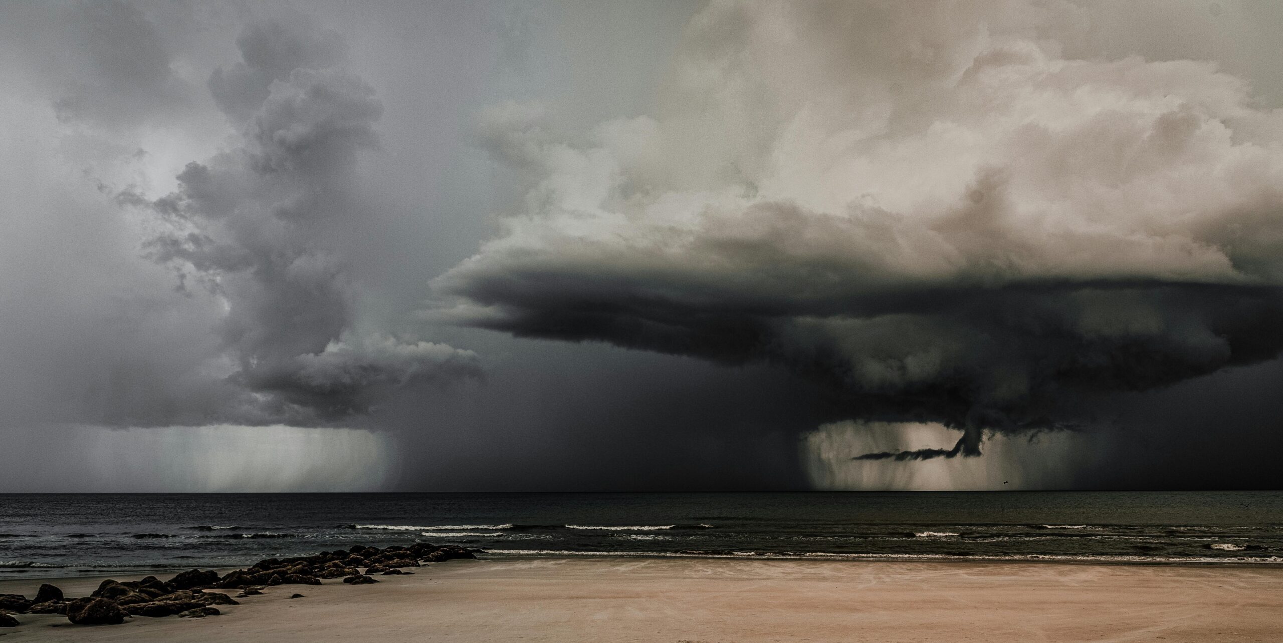
Hurricane Milton, currently a powerful Category 3 storm, is unleashing maximum sustained winds of 120 mph (193 km/h) and advancing northeast at 17 mph (27 km/h). The storm’s eye is located roughly 60 miles southwest of Sarasota, sparking urgent evacuations and significant preparation efforts throughout the region. Authorities are urging residents in vulnerable coastal areas to seek shelter immediately, warning of severe storm surge, flooding, and potential widespread damage across Florida’s west coast.
The storm surge is expected to inundate communities along Florida’s western coastline, with water levels potentially reaching 8 to 12 feet in the Fort Myers-Charlotte Harbor area and 9 to 13 feet along portions of Manatee, Sarasota, and Charlotte counties.
Additionally, Milton’s wind field has grown considerably. While peak winds have decreased slightly from earlier levels, its expansive tropical storm and hurricane-force winds are expected to cause widespread structural damage, particularly in the I-4 corridor stretching from Tampa to Daytona Beach.
The storm’s heavy rain is already battering parts of Florida, with several regions reporting more than six inches of rain even before Milton’s landfall. Forecasts predict rainfall totals between 6 and 12 inches across a wide swath of central Florida, with isolated amounts reaching up to 18 inches. This deluge increases the risk of flash flooding, particularly in urban areas where water drainage is limited.
Tampa, Orlando, and Daytona Beach are under flash flood watches, with emergency officials warning residents to stay off the roads as conditions rapidly deteriorate. Floodwaters could easily submerge roads, making travel hazardous or impossible in some areas.
Adding to the storm’s danger, the NHC reports that several tornadoes have already been confirmed across central and southern Florida. A tornado watch remains in effect through the evening for much of the state, including cities from Miami to Orlando. Meteorologists caution that more tornadoes are likely, as rotating thunderstorms associated with Milton’s outer bands continue to develop.
Hurricane Milton is expected to remain a hurricane as it crosses the Florida Peninsula and enters the Atlantic Ocean tomorrow. While the storm may weaken slightly as it interacts with land, its impacts on Florida’s Gulf and Atlantic coasts will be severe. The NHC warns that hurricane-force winds, storm surge, and heavy rainfall will continue to affect large portions of the state overnight and into Thursday.
As Hurricane Milton makes its final approach, Floridians are urged to prioritize safety, follow official instructions, and stay indoors until the storm passes.

